Mount Katahdin
From all over the world, hikers come to stand on top of Katahdin and look out at Maine’s ancient and seemingly infinite wilderness. On a clear day, you can spot the shapes of Bigelow Range in the distance as well as the blue waters of Moosehead Lake.
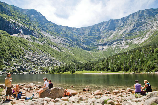
The summit of Mount Katahdin is the highest point in Maine at 5,269 feet. Standing on its rocky crown has meant many different things for many different people. For those traveling on the 2,184- mile Appalachian Trail, Katahdin is either the beginning of the journey or the victorious end. The part of the trail that zigzags through Maine is said to be its most difficult portion, with rocks, roots, steep inclines, weather, and the Hundred Mile Wilderness, where warning signs explain the nearest town, for help, food, and water, is 100 miles away.
To Jensen Bissell, director of Baxter State Park, who has climbed Katahdin more times than he can count in his 30 years working in the park, the summit holds matchless significance. “Baxter Peak is an iconic and spiritual mount and Katahdin has a place in people’s hearts in Maine and far away from Maine,” says Bissell.
There are three primary trails to the top: Hunt, Abol, and Chimney Pond. According to Bissell, the Hunt Trail is part of the Appalachian Trail, thus a favorite. Abol is the most difficult but has a dedicated hiker following, and Chimney Pond appeals to first-timers because of the lookouts along the way. “Baxter Peak is one of the most challenging day hikes in New England,” says Bissell. “All access points are about 11 miles and 8 to 12 hours round trip.”
The climb is worth it. For the last 2.4 miles to the top, hikers are above the tree line. As Bissell says, “It is a really beautiful place and you are up so high that you really feel the power of nature.”