


Elemental Landscape
In the glacier-carved peaks of western Maine, we find dramatic waterfalls, well-traveled trails, and an ice cave named for an unfortunate moose. Come with us to Grafton Notch.
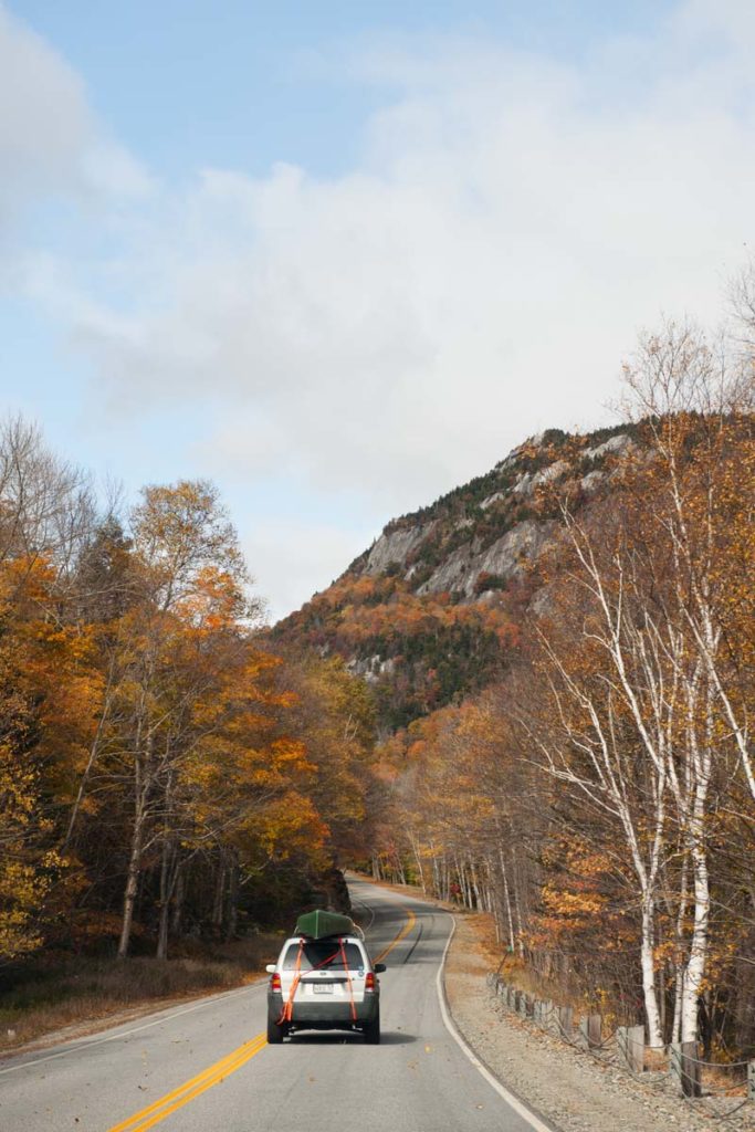
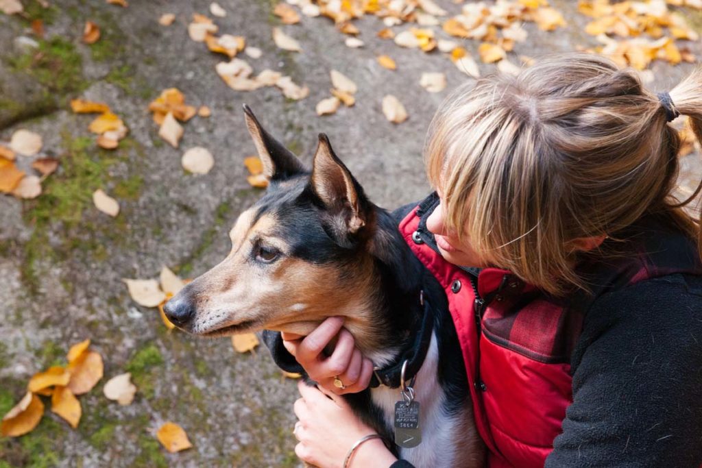
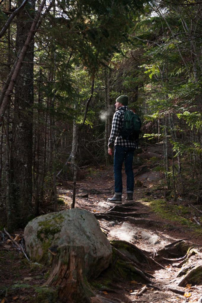
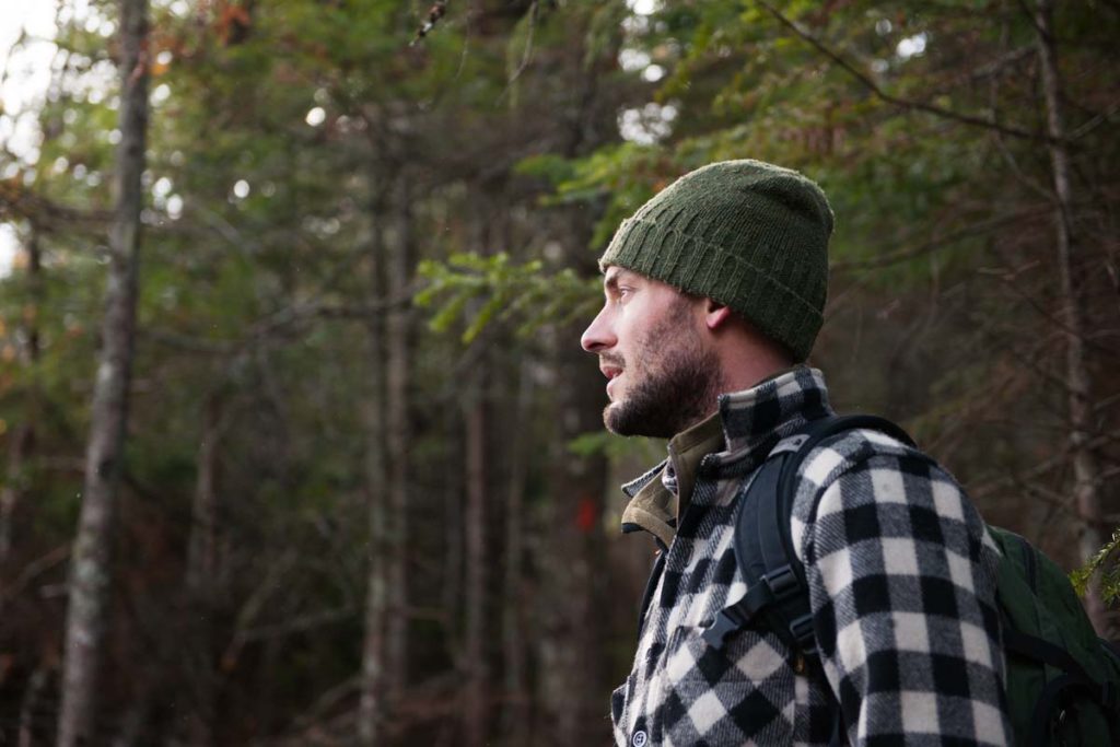
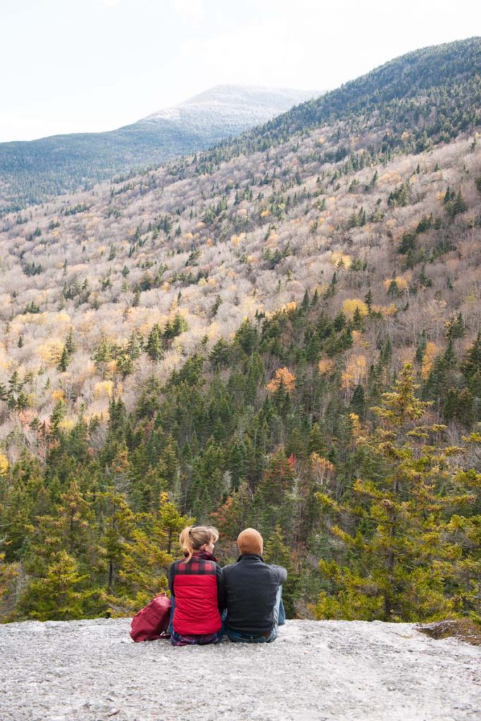
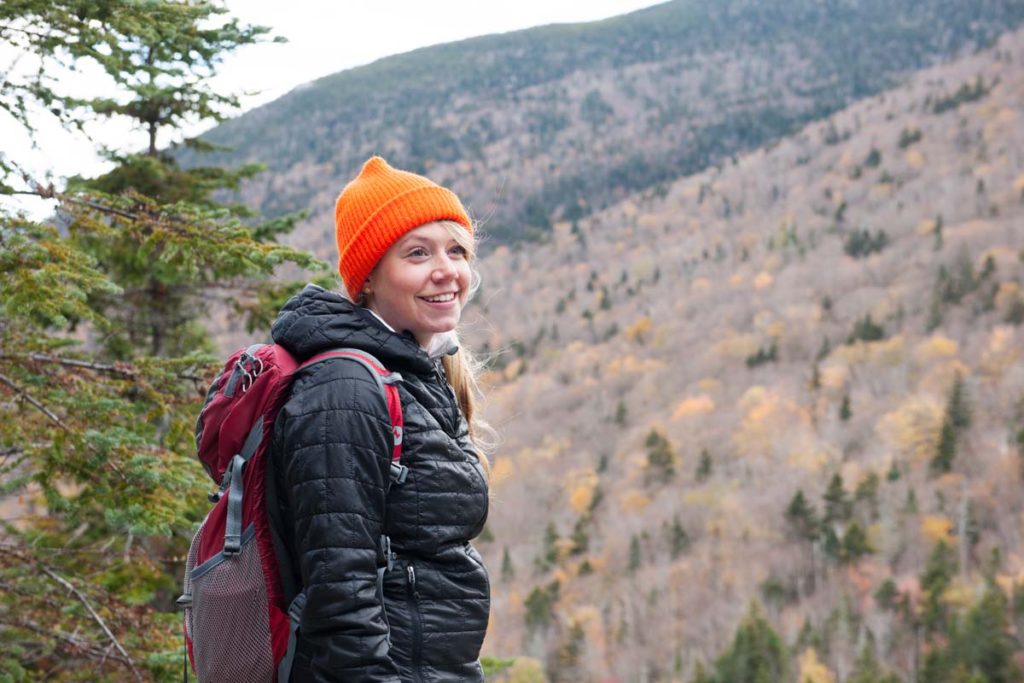
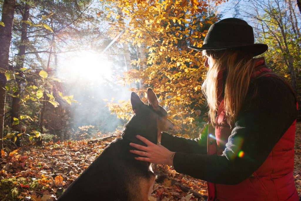
Route 26 rumbles as we drive, the road rough and pitted with potholes from the repeated freezing and thawing of last winter. The road twists and turns, carrying us over green hills and through tall stands of evergreens, which stand improbably straight and uniform, like soldiers ready for battle. It’s early October, peak leaf- peeping time, yet snow is already dusting the countryside. We’ve prepared for this possibility—I’m wearing layers of wool and rain gear and my husband Garrett has his fleece jacket zipped up to the top of his neck. Behind me, our two dogs stare out the windows, barking at deer and waiting to run.
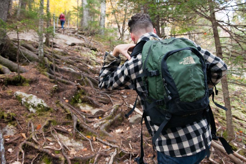
We’re part of a two-car convoy, four friends headed northwest from Portland to explore the woods and trails of Grafton Notch (behind my car travels photographer Nicole Wolf and our friend Eric Lindgren). It’s a regrettably new experience for all of us— we’ve visited Maine islands and sunbathed on Maine beaches, but we’ve never seen the majesty of Screw Auger Falls or stepped into the cool caverns of the ice caves.
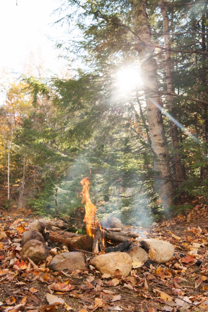
We shed our city personas the moment we arrive in Grafton Notch State Park. It happens instantly, with the first sight of birch leaves yellow and dusted with snow. The bright foliage sings loudly against the gray day, the stormy sky. October snowfall is not unheard of in Maine, but I’ve always believed there is something enchanting about a first snow that comes so early. As we unload our bags, we transform from a group of adults with daypacks and L.L.Bean gear and jobs and cars to a cluster of wide-eyed children shouting, “Look at this!” and “Do you see?”
Perhaps it’s the snow or the late-season date, but there are few cars in the Screw Auger Falls parking lot and no one on the trail. After five minutes of walking, we arrive at the falls, where Bear River pours over a granite ledge. The curtain of water stretches down nearly 30 feet, crashing first onto rocks, then into a pool of clear, cold water. It’s magical. Breathtaking. Surreal.
Later, I learn that the granite rocks that make up the falls were formed 300 million years ago, miles below the surface of the earth. Through the continual process of glaciers forming and retreating, the bedrock was exposed. Ryan Gordon, a hydrogeologist based in Augusta, explains that while we know some things about these falls, we don’t have a clear picture of exactly how or when they formed.
“Dating erosion formations, like waterfalls, is pretty difficult, but we know the general outline of how the glacier covered the land, and how it retreated,” he explains. “About 16,000 years ago, the glacier that covered all of Maine, from the gulf to the interior, began to retreat. The highlands around the Mahoosucs and Grafton Notch would have been one of the last areas to clear.” As the glacier slowly crept back it carved the land, etching the bedrock into strange and beautiful shapes. That’s the science behind the falls, the truth behind the magic.
When the glaciers retreated, boulders fell off their icy sides, sliding and careening down to ground. They fell into piles but not orderly ones. This was no game of Tetris. They landed on the ground in a jumble, with large gaps between the rocks.
We climb down from the top of Screw Auger into one such cave. Between boulders there is a window, a gap through which we can view the bottom of the falls. To get there, we have to scramble over slippery rocks. Nicole hands off her camera so she can climb up for a better look. It’s treacherous, but worth the view. From here, we can see the falls close- up and glittering, drops forming prismatic rainbows in the October light.
When we’ve finished hiking from cave to cave, we relocate to another part of the park, Moose Cave. A brown-painted sign informs us, in yellow lettering, that we are standing in a 600-foot-long gorge carved by glacial meltwater. It explains that the 50-foot walls of the gorge are marked by sharp patterns and lines, fractures and cracks where water seeped into the blocks and then froze, expanding and driving the cliff face apart. “Be careful on slippery rocks so that you will not fall in like the unlucky moose for whom Moose Cave was named,” advises the sign.
Eric and Garrett begin scaling the rocks, sticking their fingers into the long cracks in the boulders. The ground is slick with water and yellow leaves. By now, some of the snow has melted, leaving the forest damp and cold. Eric descends into Moose Cave, his hands on the mossy sides. “This is unreal,” he shouts up at us. “It’s freezing down here,” he adds.
He’s almost right. As it turns out, the air in the caves stays at roughly 40 degrees year- round, thanks to ice that collects beneath the boulders. “Most caves in Maine tend to be just above freezing all year long,” says Gordon, the hydrogeologist, who explains that the caves near Grafton Notch are likely to follow the same patterns. But, he adds, “Some of this is speculation based on what I know about ice dynamics—I haven’t been to Moose Cave since I went hiking there awhile back.”
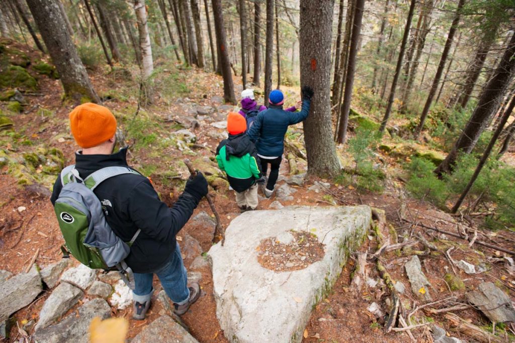
We don’t see any scientists on the trail. It’s just as well, since we’re speculating wildly about the moose that fell in, the legends of the land, and making up names for various plants we see. We misname plots of lichen according to their color, not knowing that we’re looking at Maine examples of reindeer moss, the lichen that feeds the herds of the arctic tundras. We climb on rocks and watch as the dogs sniff the earth, digging for treasures buried under the soft loamy soil.
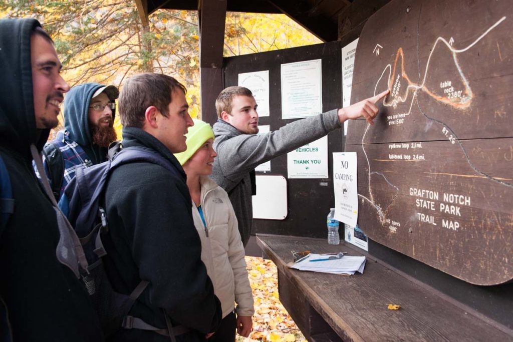
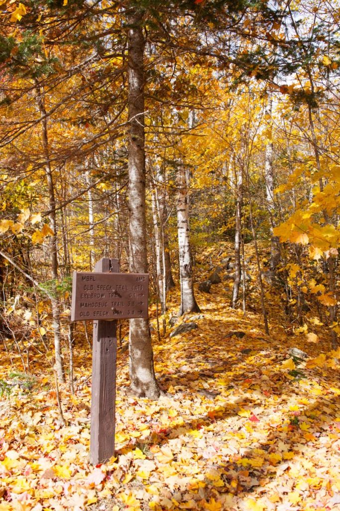
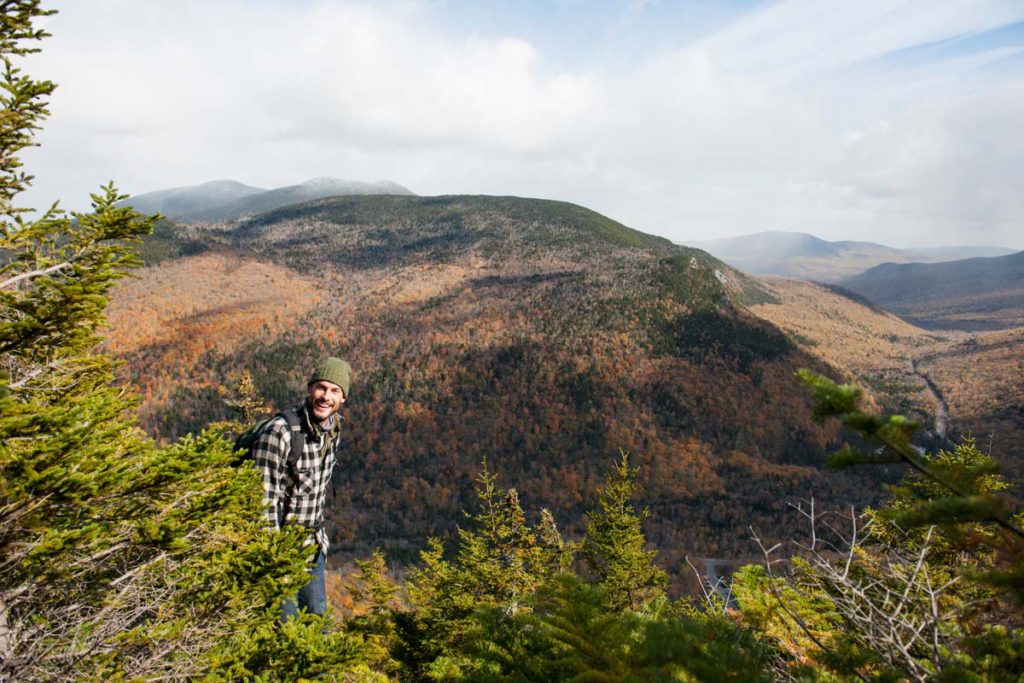
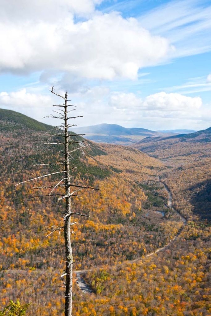
Nearly an hour later, we make it out of the woods and back to our cars. We drive down the road to reach the trailhead for Old Speck and Eyebrow Loop Trails. We stare at the map, deciding which way to go, before settling on a 2.6-mile loop that will take us on a small section of the Appalachian Trail and promises glorious views of the surrounding landscape from Old Speck Mountain. For a more strenuous route, hikers can choose to instead follow Old Speck Trail, a 7.6-mile round trip that follows the Appalachian Trail over rivers and streams to the summit of Old Speck.
Our hike starts off easy, but it becomes more strenuous as we gain altitude. Leaves crunch beneath our feet as we walk between red maples and oaks, yellow beeches and birch. We follow the Appalachian Trail for a tenth of a mile before the trail branches off and begins to rise. After a half hour, we’re all sweating in our winter clothes. The cold air feels fresh, and real.
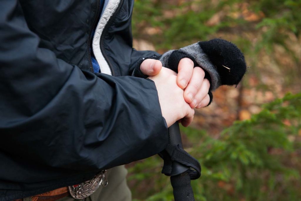
My hiking euphoria doesn’t last long. Soon, we come to a section of the trail that crosses a cliff face. Iron rungs are bolted to the rock wall. They look like massive staples. These pieces of metal are intended to protect us as we make our way across the rocks. Logically, I know the route probably is safe. My hiking boots have traction, and there’s not too much ice on the rocks (although icicles hang from above like jagged teeth). But I’m seized by my fear of heights as I stare at the trail.
Garrett goes first. Instead of holding onto the rungs, clinging to them like I would, he stands on top of them. “Nothing to it,” he calls. I laugh, and I don’t know if I’m afraid or excited.
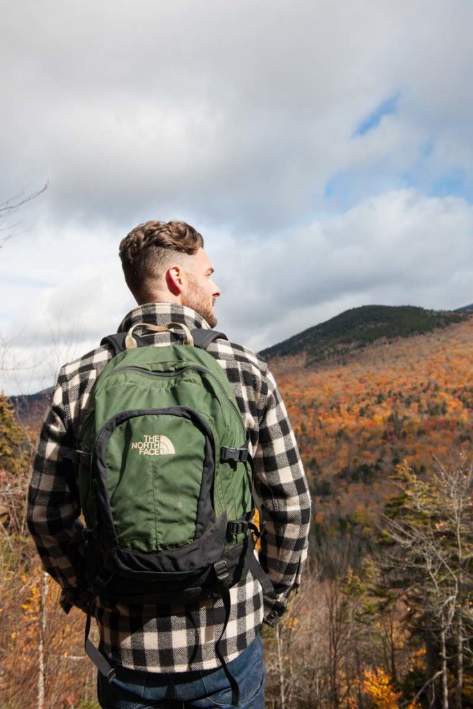
I choose my footing carefully as I climb onto the shelf-like overlook. Once I’m on the cliff, I realize the drop isn’t as sheer as I expected. From the bare rock, we’re granted a view that simultaneously terrifies and elates me. The air has cleared, and we can see for miles over the forest, which spreads out endlessly, rippling with color. According to the Dictionary of Maine Place Names, Old Speck is named for the diversity of trees that grow here, which gives it a “speckled appearance, particularly in the fall.” As we make our way across the bare rock and back into the woods, snow begins to fall again with fat, sticky flakes. I catch one on my tongue, and we keep hiking.
By the time we get back to the parking lot, our shadows are long and the day is coming to a close. I feel older than granite, with heavy bones and eyelids that long to close. Garrett and I had planned to camp nearby, but the air temperature is dropping and we decide to return home. As we drive back, away from Old Speck and Moose Cave and the falls, we spot something curious on the side of the road. We pull over to a wooden hut, where freshly baked pies sit in front of shelves of jams and jellies. “Who do you pay?” I ask no one in particular.
“It’s the honor system,” explains Nicole, picking up a pie. I tuck $20 into a jar of money and take a pie and a jar of blackberry jam. The pie won’t last the hour. It’s messy to eat while driving, but we manage. The jam will last a little longer, a few weeks, maybe even a month. In the coming mornings, when I’m drowsy from sleep and making breakfast in my small city apartment, I find myself digging around in the refrigerator until I spot the homemade label on that jar. And as I slide my butter knife past the dark purple surface, I’m reminded of the cliffs and caves of western Maine, a place where magic is carved deeply and permanently into the crust of the earth.