


Getting To Know the Bigelows
An October hike yields 360-degree views, aching limbs, and a deeper connection to the land.
The bald cap of Cranberry Peak rises 3,194 feet above sea level. From ten miles away, the summit looks like a blue-purple mass, a hulking shadow the color of lake water, part of a 12-mile ridge that rises and falls like so many waves. From the trail, the summit stands out aggressively, a rocky island amidst a sea of trees. From up close, when we finally get there, it’s a variegated surface of pink granite and sage-green lichen, with a few bright red leaves clinging to blueberry bushes.
It takes hours to reach this summit. Three strenuous hours. For me, a lovely view from the top (and this one is lovely) isn’t enough of a reason to spend half a day trudging over dry creek beds and climbing over rocks. I have another reason for the hike out and back along the Cranberry Peak Trail: I want to get to know the land.
Maine is a difficult place to get to know. It’s a 35,385-square-mile sprawl of forestland and coastline. It takes over six hours to traverse it from tail to tip in a car, and many parts of Maine are unreachable by highway (thus the unofficial state motto, “You can’t get there from here.”) I’ve lived in Maine for five years, and during that time, I’ve logged nearly a hundred thousand miles on my car. I’ve driven from Portland to Lubec, from Farmington to York. I’ve seen much of the state, yet I don’t feel that I know it, not entirely. There is a special kind of knowledge that comes from hiking, from putting one foot in front of the other and moving slowly through the landscape. There’s an intimacy you experience when you walk that is lost when you travel by car or even by bicycle. Leaves are not green blurs passing you by—they sharpen and crystalize into signals, signs that this tree hides sweet sap, or that tree drops acorns come fall.
Located north of Sugarloaf Mountain, the Bigelow Range isn’t as famous as Acadia National Park, nor is it as recognizable as Mount Katahdin. But boasting over 30 miles of hiking trails, this 56-square-mile wilderness is a hiker’s dream—a Shangri-La for pilgrims in stretch pants, an Avalon for the worship of wide-open views. Every year, several hundred Appalachian Trail through- hikers make their slow, steady way through this land, sleeping on raised platforms and drinking spring water filtered through spigots.
Carey Kish, Maine writer and guide, has been one of those through-hikers twice in his life, first at age 18 and later at age 56. He’s also hiked through the Bigelow Range numerous times. “I’ve been living in Maine since 1971, and we didn’t always have the kind of conservation land we do today,” he says. “Back then, there was Baxter State Park and a little portion of the White Mountains and the Appalachian Trail. That was it for backpackers. But the Bigelow Range gave backpackers the opportunity to spend a few days out, a few days on the trail without seeing another soul.” Over the past 30 years, Kish explains, there has been an enormous amount of trail building taking place in Maine, which has gone hand-in-hand with conservation efforts. “Bigelow is one of Maine’s backpacking gems,” he says.
The battle for Bigelow began in the 1960s, when Governor Kenneth Curtis began working with a group of Boston developers to design a proposal for the land. They wanted to build a multimillion-dollar ski resort on the north slope of Bigelow Mountain. The idea was that this resort would help Maine win a bid to host the 1976 Olympics. According to the Bangor Daily News, Ezra James Briggs, an outspoken environmental activist from Caribou, described the development as a “bunny club for Boston billionaires.” Others called it the “Aspen of the East,” a phrase that was supposedly bandied about by developers seeking backers for their ambitious project.
Fortunately for hikers, the bunny club was stopped in its tracks by the efforts of local and national conservationists. In the early 1970s, the Appalachian Mountain Club joined forces with a group calling itself Friends of Bigelow to raise public support for the cause. In February 1974, a group of Friends hiked to the top of Bigelow Mountain and planted a flag on its peak, claiming it for “the people of Maine.” Two years later, a citizen-initiated referendum was added to the ballot, which would require the state to purchase the 12- mile mountain range and lift it out of reach of would-be developers. It passed by 51 percent.
Now, the Bigelow Preserve is part of some half-million acres of designated “public reserve land” within the state of Maine. “We’re the most heavily forested state in the country,” explains Kish. The peaks and valleys of our state are coated in hardwood and spruce, fir and maples, big trees and little saplings. It is not big sky country, nor is it big tree country— Maine is big forest country. “Anywhere else, it’s easier to get views—you don’t have to work as hard or hike as long for them.” But there’s something about the Maine woods that makes it worth it, he says. “The look, the smell, the feel of them.”
To reach the Cranberry Peak trailhead from the south, you must drive past Sugarloaf (where I normally make a sharp turn to the left) and down a dirt road called Currie Street. It’s a blink-and-you-miss-it kind of place, located six miles past the resort off Route 27. (If you go one mile farther, you’ll hit the charming village of Stratton.) On a cold October day, there are few cars waiting for their owners to return to the gravel parking lot. It is too early for skiers and too late for summer crowds. Nearby signs remind hikers to carry out any garbage, clean up after their animals, and stick to the trails.
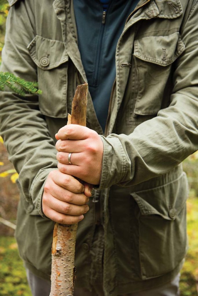
When I set out to summit Cranberry, I know I am in for a workout. The 5.8-mile out-and- back hike is described as “advanced” and “strenuous” by the excellent trail-mapping website Maine Trail Finder. As a runner, I relish the challenge. I look forward to the liquid feeling of tired muscles, and so I approach Cranberry with a slight swagger. This will be a breeze, I think.
But as it so often does, nature manages to surprise me. After a relatively easy beginning, the trail becomes steeper and more punishing, large boulders forming an uneven staircase shaded on both sides by a hallway of coniferous trees. After only a few minutes of walking, I have to stop and breathe. After two miles, I begin to fear I will never reach the top. My hiking companion, photographer Nicole Wolf, feels the same.
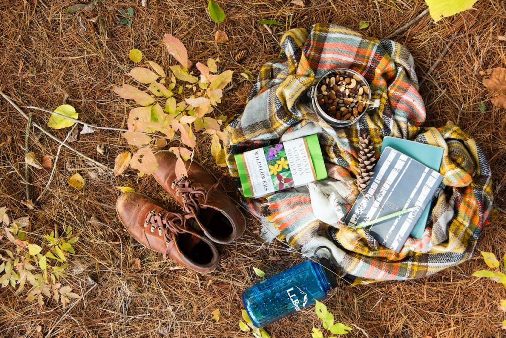
We distract ourselves by picking up leaves gone scarlet in the shortening days. We
eat trail mix with dark chocolate and dried cherries, and sing songs we make up on the spot. We keep going until we can’t keep going, and then we sit down to rest.
For two hours, we don’t see a single person. Then we come across a young man wearing
a white shirt and carrying a backpack that is larger and more technically advanced than our own. “Hello,” I call out. Nicole doesn’t beat around the bush. She dispenses with niceties and asks, “How much farther to the top?”
The hiker is David Lapham. A medical student working in Skowhegan, he is out for a solo hike on this October Sunday. “It’s only about a mile,” he says. “The view from the top is beautiful, but it looks like it might rain,” he adds.
I look at the trees. A few of the still-green maples have leaves turned upside-down, showing their silvery underbellies to the sky. “It’s a sign of rain,” I explain to Nicole, pointing at the leaves. She clutches her camera tightly to her chest, protecting that sacred bundle.
It does rain, but not much. It doesn’t ruin the view (nor does it destroy Nicole’s camera). We came to see the woods, to learn how our bodies respond to the trail, and to feel the rush of adrenaline that comes from reaching the summit. When Nicole stands on top of the mountain, she lifts her arms in the air and lets out a howl of joy.
We sit at the summit and eat crackers, apples, and cheese. Around us, the forest spreads out. I can’t tell whether the yellow blotches are maple or birch, or whether the evergreens are spruce or pine. I could list the mountains and summits that swell around us—Bigelow and the Horns and Saddleback—but I can’t tell them apart.
Despite the foggy weather, we can see Flagstaff Lake, a sinuous shape that glows like mercury in the afternoon light.
As I rattle off the place names, Nicole clicks the buttons on her camera, capturing each piece of the preserve.
On the way down, we are quiet. We are headed for a hot tub and warm food, a long night of sleep and rest for weary, trembling legs. We are carrying with us a new knowledge. The hike, like all good walks, has taught us something about our place on the earth. We smelled moss and earthy mushrooms and stood on the bare rock ridge of a high mountain. We got closer to Maine, to understanding her plants, her history, her land.